![]()
Essential changes in version 2.9.3
- Added configuration for automatic volume control in settings
- Bug fixing
Essential changes in version 2.9.1
- Added ‘Delete’-option in context menu of timeline
- Colour of help texts in main menu adjusted for better visibility (dark mode only)
- Bug fixing & version maintenance of technology
Essential changes in version 2.9.0 (including 2.8.5)
- Android 13 Support
- OSM online map ‘Hike & Bike Map’ has been removed as the service has been stopped. For details see here.
 The new ‘manual navigation mode’ replaces the ‘aeroplane’ mode.
- The ‘manual‘ navigation mode allows free adjustment of the zoom during recording or navigation via the zoom slider on the left side of the map. Please note that you have to ‘re-center’ the map after changing the zoom using gestures on the map.
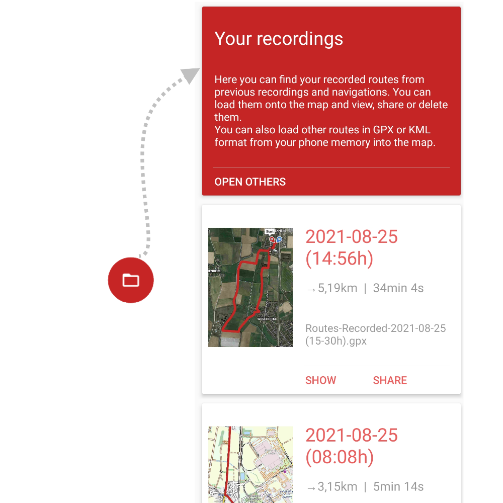
- The new timeline explorer provides unified access to your recordings, imports and external GPX and KML files. Details coming soon here.
 The new ‘manual navigation mode’ replaces the ‘aeroplane’ mode.
Essential changes in version 2.8.4
- Update of OpenAndroMaps map styles (Elements/Elevate) to version 5.0.0 (please download new offline maps to enable new features)
Essential changes in version 2.8.2
- Android 12 Support
- Choice between imperial and metric system of units
Essential changes in version 2.8.1
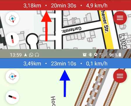
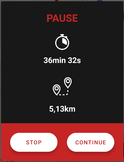
- Uniform display of travel data (Navigation & Recorder)
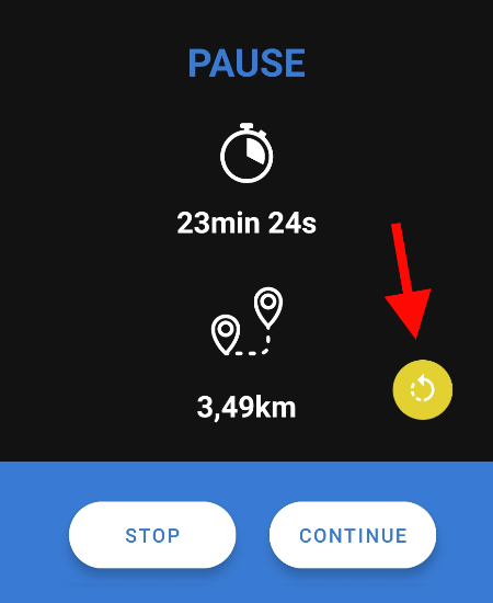
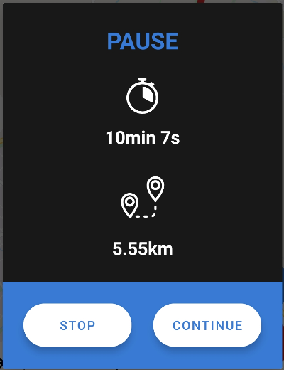
- Turn around a loaded route during navigation now also possible in pause mode
Essential changes in version 2.8.0
- Modernised UI elements
- Multiple GPX tracks and KML multi-track segments visualised
- Standardised import of KML and GPX files (OSMBonusPack & Ticofab Parser)
- Picture-in-picture mode disabled by default because unwanted side effects are detected on many phones
- 3 new route line colours for better contrast (turquoise, pink and yellow)
- A location marked on the map can now be shared
- New overview: One place for your recordings insinde ‘Routes’
- All recordings are automatically saved after stopping a navigation or recording in ‘Your recordings’
Essential changes in version 2.7.x
- No automatic stopping of the navigation anymore when arriving at the destination
- OSM maps – Rotation behaviour adjusted (rotation lock less sensitive)
- Similar pause function for recording and navigation
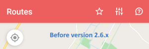
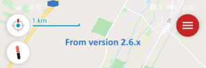
Essential changes in version 2.6.x
- Adding single individual waypoints (POI) as well as sets from gpx|kml files
- Elevation chart no longer collapses automatically (beta testing)
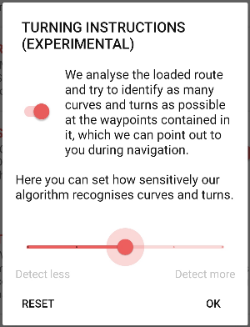
- Turning instructions made configurable
- Update of the Elevate themes to version 4.5.0
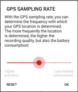
- GPS sampling rate made configurable
- Stop Action in Notification removed
- Compatibility of the gpx files with Garmin BaseCamp established
- More space for map display through new UI at the top of the app
- New UI Elements like ‘current location button’, ‘scale bar’, ‘compass’ and new ‘zoom control slider’. See: User Manual
- App bar eliminated and new menu positioned top right
- Transparent status bar
- Adjustments for Android 11
- Turning instructions and compass switched on by default
- An info symbol in the lower bottom sheet now indicates that there are statistics for the loaded route.
- Restrictions for tablets removed
- Update Offline Renderthemes Elevate/Elements to v4.4.5
Essential changes in version 2.5.x
- Online Map CyclOSM added
- Unlock slider to pause navigation or recording added
- Calculation of the altitude metres optimised
- Re-center button enlarged and modernised
- Display and behaviour of the charts modernised
- Turning instructions button now clickable to point out wrong instructions
- ‘GPS is missing’ now clickable and checks possible causes
- Altitude marker in chart remains centred when chart is zoomed
- Saves now the raw data of the navigation history next to the gpx file in the local app folder
- Splash Screen design modernised
- Second turn indication introduced “Turn now…”
- Displaying a compass during navigation


Essential changes in version 2.4.x
- Offline map settings reorganised
- Offline map handling improved by better linking to the offline files.
Essential changes in version 2.3.x
- Turning instructions with voice output added
- If the route has been left, breadcrumbs now show the real way travelled
- Online Map Hike and Bike added
- Route statistics are now visible in a separate display
- Separate request of permissions to location and memory access after installation for better understanding
- Menu icons have a new design
Essential changes in version 2.2.x
- Offline Map Type Elements Ski added
- Online Map OpenTopoMap added
- Dark mode introduced
- Rekorder now collects breadcrumbs to show the real way travelled
- Altitude calculation and display improved
- Position marker has been given a minimal border for better visibility
Essential changes in version 2.1.x
- Offline Maps added
- Bottom sheet and top menu fade out during navigation or recording
- Alert interval reduced
- Navigation icon exchanged
- Calculation of the AUTO value for alarm tolerance optimised in the setting
- Catalan language introduced
Essential changes in version 2.0.x
- Preparations for offline maps
- Camera zoom behaviour (animation) adapted for waypoints
- Notes on Android battery optimisation settings added
- Optimised reading of gpx and kml files
- Firebase user opt-out of analytics added
- Design and behaviour of the re-center button updated
- Quality criteria for location updates improved
- Colours and texts reworked
- Announcement to Offline Maps added
- Routes feedback dialogue added to menu
- Feedback – E-Mail sending corrected